
Cycling route
River-to-canal long ride
Link the riverfront with the canal for a flat, flexible ride that can be as long as you want it to be.
The ride
This is a build-your-own long ride. Start on the river, connect to the canal at 9th Street, and add as much canal mileage as you want before turning back.
There are no real climbs. The challenge is distance, heat, and wind, not elevation.
What you’ll see
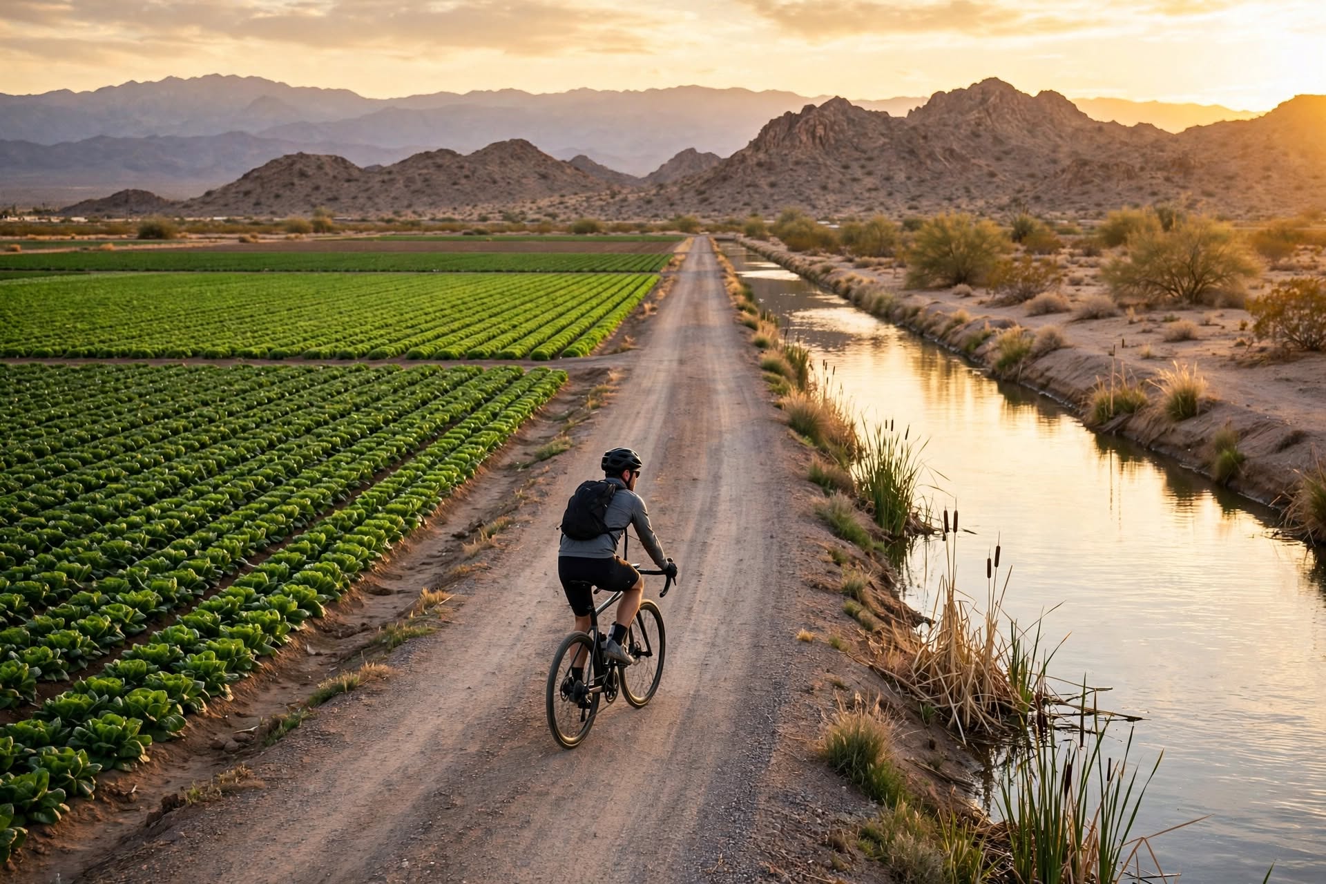
The route pairs the river’s parks and wetlands with the canal’s working landscape. It is a good way to see how the city connects to its water.
The canal section has little shade and few services. Plan your water and turnaround point before you go.
Before you go
Ride early. Afternoon wind can make the return leg harder than the outbound leg, especially on the canal.
Carry two bottles, a repair kit, and a phone. Tell someone your route if you are riding solo.
Questions
Before you go
How long is the ride?
It depends on your start point and turnaround. The canal section alone is 5.9 miles one way; most riders do 15 to 20 miles total.
Is it hilly?
No. The route is flat.
Where do I connect?
The river path and canal path meet at the 9th Street junction.
Last reviewed: November 17, 2026. See our sources and editorial policy.