
Heat and wind
November through March is the reliable riding window. In summer, start before 7 a.m.; the flat valley offers little shade and afternoon wind can turn an easy ride into work.
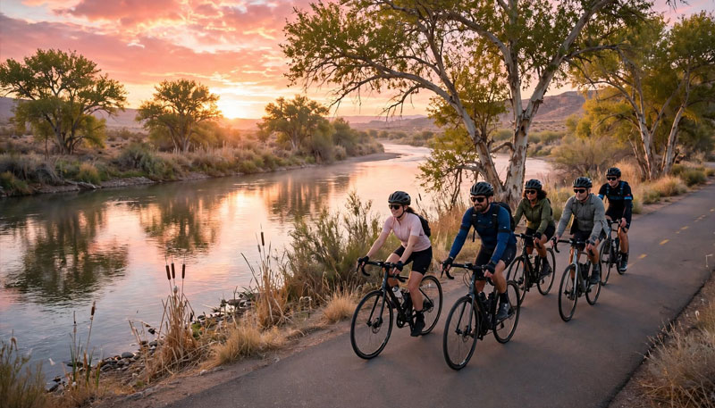
On two wheels
A flat river valley, a paved riverfront spine, and quiet farm lanes. These are the rides that make Yuma easy to see by bike.
The rides
Yuma is flat, but heat and wind are real. Distances are one-way unless marked as loops; loop routes are based on Komoot’s Cycling around Yuma guide. Start early and carry more water than you think you need. Every route below has a full guide.
The Yuma Crossing Bike Path is a 3.4-mile paved, ADA-accessible ride linking the East Wetlands, the prison, Pivot Point, the Quartermaster Depot, and West Wetlands Park.
Multi-use path: expect walkers, runners, and leashed dogs. Bicycles must be walked or parked outside the state park's historic grounds.
Read the full routeA figure-eight variation of the riverfront path that strings together the historic waterfront and the wetlands. It adds variety to the out-and-back without adding much distance.
Roughly an hour at a relaxed pace. Watch for pedestrians and anglers where the path meets the parks.
Read the full routeA flat, paved line along the East Main Canal. It meets the river path at 9th Street and runs south toward the city’s south-edge trails — a straightforward out-and-back or a car-free commute.
The canal edge is deep and fast. Keep children and dogs close, and use caution at road crossings.
Read the full routeThe long, satisfying loop: follow the East Main Canal through the south side, then return along the Colorado River levee through the wetlands and historic waterfront. Flat the whole way, with just enough distance to feel like a ride.
Mix of pavement and smooth crushed gravel. Check surface conditions after storms and carry water; services are sparse on the canal section.
Read the full routeA short loop into the restored Colorado River habitat, where marsh, cottonwood, and willow replace the desert. Flat and quiet, with good birding and a genuinely different side of Yuma.
No restrooms or drinking fountains in the wetlands; use Gateway Park or Riverside Park before you start. Some sections are unpaved.
Read the full routeA short, low-stress loop through the 110-acre park: playground, fishing ponds, Centennial Beach, and the Mormon Battalion Monument. Pair it with the river path for a longer day.
Little shade at midday. Best paired with a morning start and a plan for water.
Read the full routeLink the riverfront path with the East Main Canal at 9th Street. Ride the wetlands and historic waterfront, then turn south along the canal and return the way you came. No real climbs — just distance.
Distance depends on your start point; the canal section alone is 5.9 miles one way.
Read the full routeYuma is flat, and the county road grid south and east of town makes for quiet, easy-to-follow longer rides. Go early, ride predictably, and give farm equipment room.
Avoid the height of winter vegetable season, when large implements and field crews are moving. No shade and few services.
Read the full routeLooking for a place to stop? Browse river parks and historic sites along the route.
Know before you ride
Yuma is flat and forgiving, but the desert sets the rules. Plan around heat, farm traffic, and the shared path.
November through March is the reliable riding window. In summer, start before 7 a.m.; the flat valley offers little shade and afternoon wind can turn an easy ride into work.
Winter is vegetable season. Expect tractors, crews, and slow-moving equipment on county roads south and east of town. Give them room and pass only when you can see clear road.
The riverfront and canal paths are multi-use. Keep right, call your pass, leash dogs, and slow down around parks and trailheads.
Maps & rentals
Visit Yuma’s biking page covers bike rentals and local connections. Komoot’s Cycling around Yuma guide adds loop routes, rider times, and surface notes; TrailLink and MTB Project carry the trail maps and recent reports.